


Every day, an enormous amount of data is being gathered about our planet in the form of big Earth data. Not only does this data reveal patterns about our climate, the health of our oceans and inland bodies of water, but it also measures changes in the global climate. However, lack of availability and validation of data by Member states compromises effective implementations of SDG6.
Big earth data is an extremely large data set about the planet that is analysed computationally. This data is being gathered as a collective of multiple active data sources including earth observation from satellites and other monitoring sites on the ground. This style of analysis is a powerful tool to allow scientists to conduct research on a global scale, helping them to measure changes in the global climate.
UN Water Conference
At the UN Water Conference held back in March, the side event Big Earth Data: A Game Changer to Promote implementation SDG 6, hosted by the International Society for Digital Earth (ISDE) and their partners, highlighted that the missing piece towards better monitoring and evaluation of the existing Sustainable Development Goal 6 indicator system is the submission and confirmation of data by Member States.
Put simply, Member States need to be willing to share their data and validate that data. Without the validation of that data, the system is effectively useless by creating unintended gaps, creating data discontinuity challenges. This ultimately impacts the timing and direction of policy intervention to ‘ensure availability and sustainable management of water and sanitation for all’ (UN SDG6, n.d.).
New Prediction Models
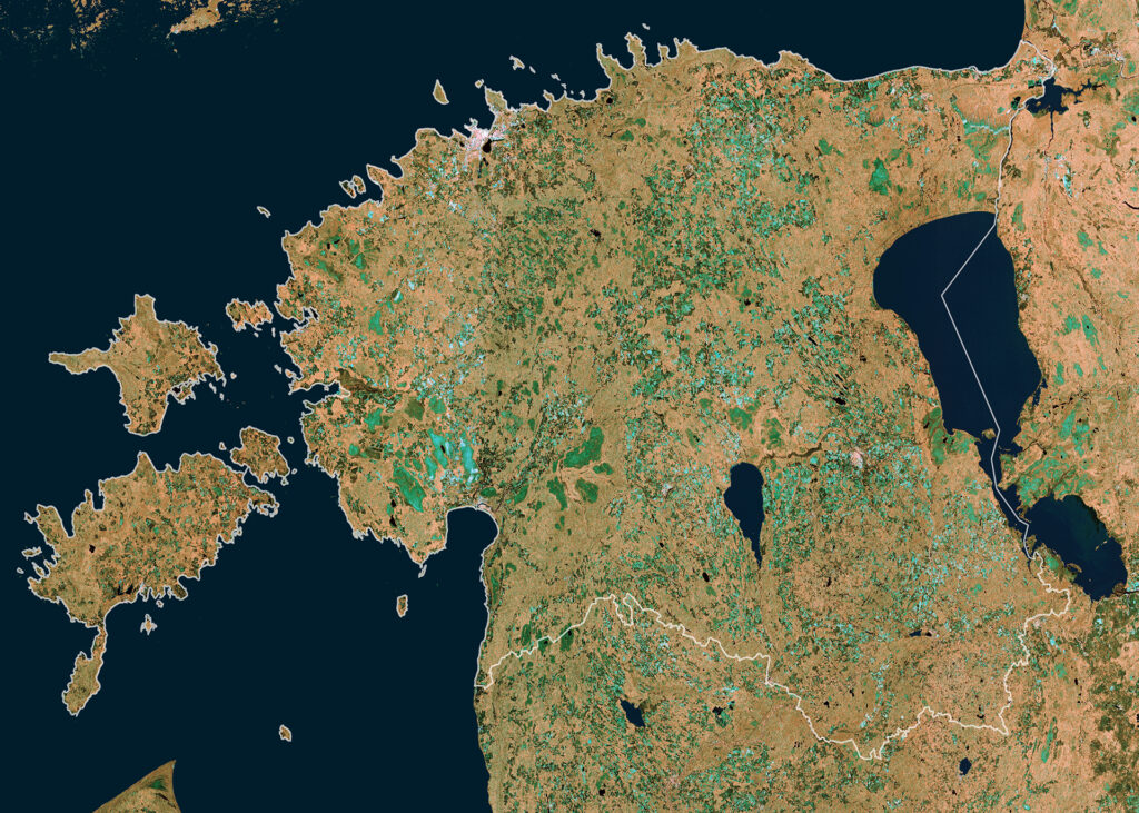
Global cooperation, knowledge sharing and capacity building are therefore the key to successfully implementing Big Earth Data into global policies addressing SDG 6. Working together, monitoring river and lake levels from space gives scientists an opportunity to provide insight on water policy and water development projects, creating new prediction models and deducting issues with water availability.
The WorldWater project is committed to accelerate the use of global satellite observing system by equipping users with data and tools for better monitoring their water resources, and ultimately improve decision making on water governance and management as well as strengthen national statistical capacities to track progress on SDG indicator 6.6.1 on changes in water related ecosystems.